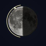
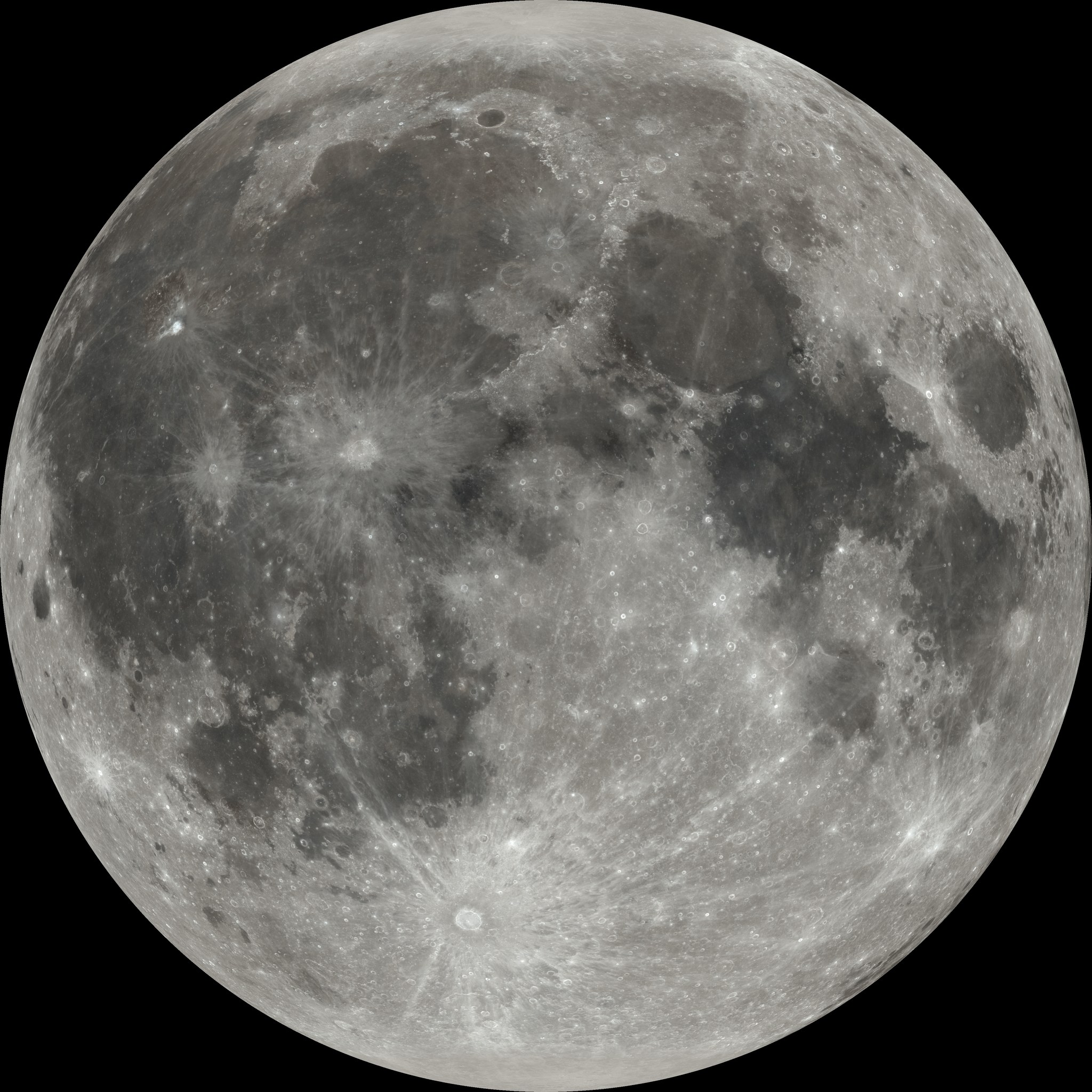
The Moon is tidally locked, so it always shows us roughly the same face — but not exactly the same face. It appears to rock slowly east–west and nod north–south, so over a month the edges shift and we eventually get to see about 59% of the surface. Two causes:
This lunation
Kupu — key terms
What this is
An interactive Moon atlas: both hemispheres with IAU-named features, every spacecraft landing and impact site (crewed, robotic, deliberate and accidental), a layer of key scientific discoveries, an accurate simulator of how the Moon looks from your sky — built in Aotearoa, so the southern hemisphere view is a first-class citizen — and the maramataka, presented with proper attribution.
Scientific accuracy
- Lunar and solar positions are computed from truncated series in Jean Meeus, Astronomical Algorithms (2nd ed., 1998) — accurate to well under an arcminute, far beyond what the rendering needs.
- The disc orientation uses the parallactic angle and the position angle of the Moon's axis, so the Moon appears as it truly does from your location — from New Zealand, roughly "upside down" relative to northern-hemisphere imagery.
- Landing/impact coordinates were compiled and cross-checked against NASA NSSDCA and LROC sources; entries flagged "location approximate" are best published estimates.
- Feature names, positions and diameters follow the IAU Gazetteer of Planetary Nomenclature — the full export is loaded, so zooming in eventually reveals every named crater including the lettered satellite craters (8,700+).
- The Chart view is hillshaded relief computed from the LOLA laser-altimeter elevation model (3× vertical exaggeration, north-west illumination) — a drawn-chart look derived from real topography, not an artistic impression.
- Optical libration can be rendered for real: "True libration view" re-projects the disc from the full-globe map onto the actual sub-Earth point for the chosen date. With it off, the disc is the Moon's mean face.
- Known simplifications: physical libration ignored (~0.03°), ΔT fixed at 69 s, rise/set via 5-minute grid interpolation (±1–2 min).
The maramataka
The maramataka is the Māori lunar calendar — a system of named nights guiding fishing, planting and activity. It is observational and differs between iwi and rohe; there is no single universal version. This app presents published sequences with their attribution shown, and maps them to astronomical nights using a stated convention. Te reo Māori content in the maramataka view comes from the cited sources. Before any classroom use, have the reo and tikanga checked by a fluent speaker / mana whenua.
Credits & sources
- Moon imagery: NASA's Scientific Visualization Studio (CGI Moon Kit, svs.gsfc.nasa.gov/4720). Colour map from the LROC WAC mosaic; elevation from LOLA.
- Mission data: NASA NSSDCA master catalogue; LROC; agency sources (NASA, Roscosmos historical records, CNSA, ISRO, JAXA, ispace, Intuitive Machines, Firefly).
- Nomenclature: IAU Gazetteer of Planetary Nomenclature (USGS Astrogeology).
- Maramataka: sources cited per sequence in the Maramataka tab.
- Full source notes live in the project's
docs/folder.
© Pursue Learning Limited 2026 · Built in Aotearoa New Zealand · Not an official product of any agency named above · Privacy policy